


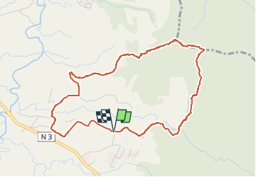


9.4 km | 14.9 km-effort

User GUIDE


FREE GPS app for hiking
 SityTrail
IGN / Geographical institutes
SityTrail World
The world is yours!
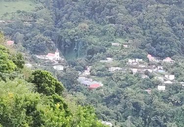
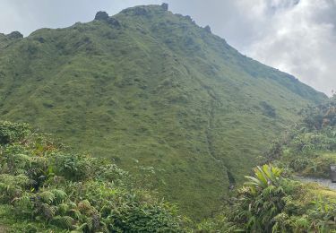
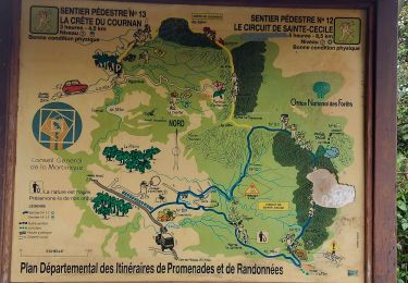
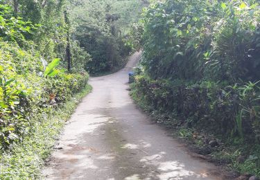
Trail Walking of 7.2 km to be discovered at Martinique, Unknown, Le Morne-Rouge. This trail is proposed by Jean-Luc Farant.


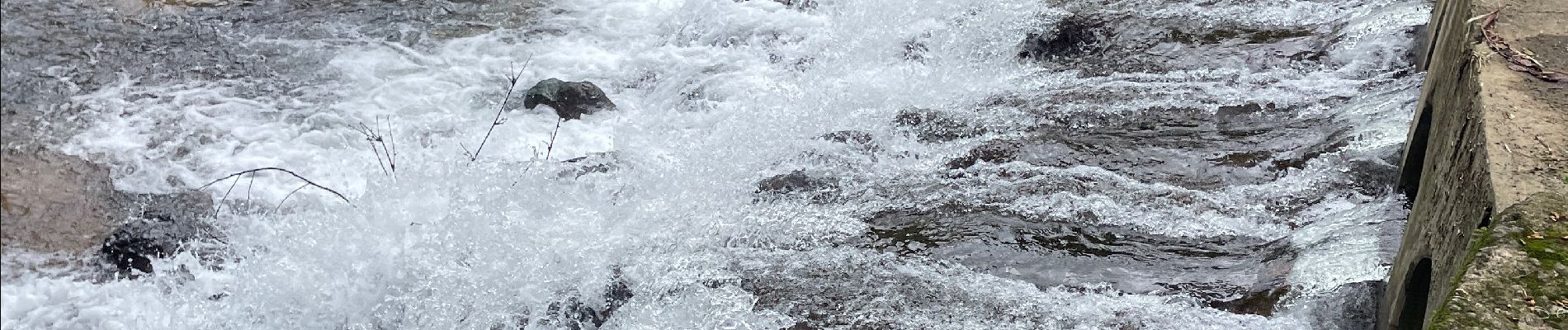
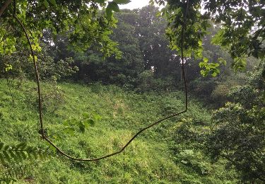
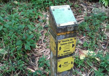
41 photos in total. Please click on a photo to see them all in the gallery.

Walking
Walking
Walking
Walking
Walking

Walking
Walking

Walking
Walking